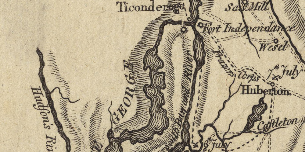
I have a particular interest in old maps from the Lake Champlain Region, as I research the part of its history when it was part of New France.
That explains that I am often online searching for additional maps of the region.
In my quest, I recently discovered this map in a Wikipedia article. It is actually a map part of a collection from the Boston Public Library. It is particularly interesting and pretty unique, as the dates of the battles during the 1777 Burgoyne’s campaign have been included right on the map for the various locations.
And if you are interested in all maps as I am, you may also want to check the site of the Library of Congress. As an example, here are the results of the search on “Lake Champlain maps” on this site. And if you are in Washington DC, don’t miss the chance to see them in person, you won’t regret it, believe me!

