Did you ever think that the Google satellite images could reveal something extraordinary to the archeologists? Well, you must have heard that cultivated fields could show the shape of foundations under the ground…
A few weeks ago, in a report on archeology work conducted at fort Sainte-Thérèse, I came across this aerial 1941 photo highlighting the 18th century fort, located in the Richelieu Valley, in Quebec.

If you know the usual shape of a Vauban-style fort, you can probably see its shape with the bastions at the corners, on that photo. Isn’t neat?
I immediately decided to check the shores of Lake Champlain on Google satellite maps, to see if they could reveal some ruins or some other clues to the French past of this area (seigneuries from the beginning of the 18th century).
I wondered if some patterns in the fields were hiding the secret of an old building… I was feeling the excitement of uncovering some secrets of the past…
Interestingly enough, it did reveal something. The fields close to Chimney Point, where French settlers had land then, still have for the most part the characteristic shape and size of those elongated land grants, the French seigneuries from the New France period, which you can also observe all along the Saint-Laurent River in Quebec.
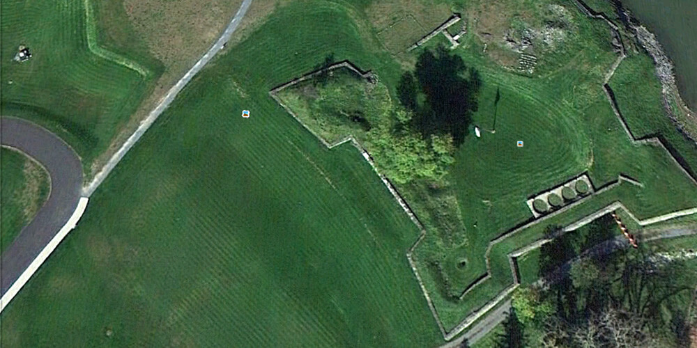
Illustrations: Top photo showing Fort Saint-Frédéric ruins (Crown Point, NY); the second photo showing Fort Sainte-Thérèse, QC.