Every week seems to bring some special discovery and joy to the amateur researcher I am.
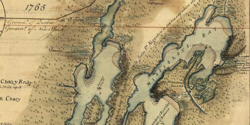
This week is was the discovery of the way to download and view high-resolution images (old historical maps) from the Library of Congress website. The maps database can be accessed at Map Collections.
Zooming in on these high-resolution maps brought to light some meaningful details, such as the location of some deserted French settlements on a 1759 map of Crown Point on Lake Champlain! Fun stuff!