Defining Lines: Cartography in the Age of Empire
An exhibition reminds us that, at the time of empires, maps were more than just tools for the explorers to find their way.
An exhibition reminds us that, at the time of empires, maps were more than just tools for the explorers to find their way.
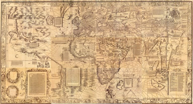
For his 1516 "Carta Marina", cartographer Waldseemüller changes his approach to map making.
Could Christopher Columbus actually be the son of Polish King Władysław III?
Here is the schedule of our 7-day tour across France, on the steps of Samuel de Champlain.
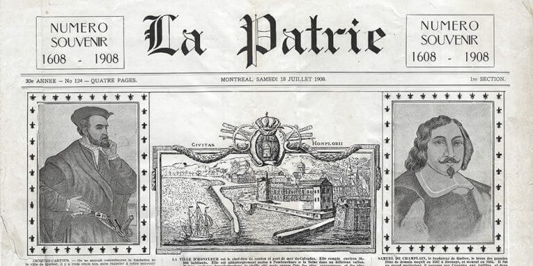
I own a piece of Quebec history!
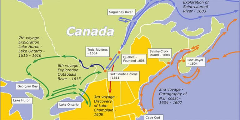
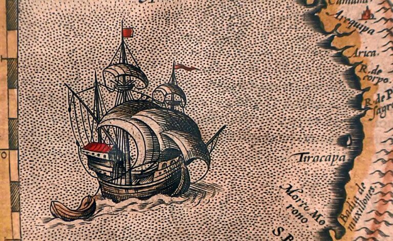
A map of the various explorations of Samuel de Champlain.
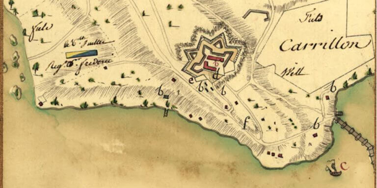
Mr. Capitaine, the “aide de camp” of Marquis de La Fayette has drawn beautiful maps, while in campaigns. Magazine Antiques had an excellent article on this cartographer. And some of the maps can be seen at the Library of Congress.
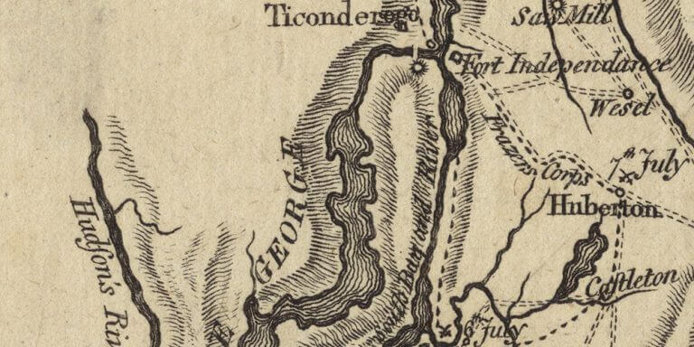
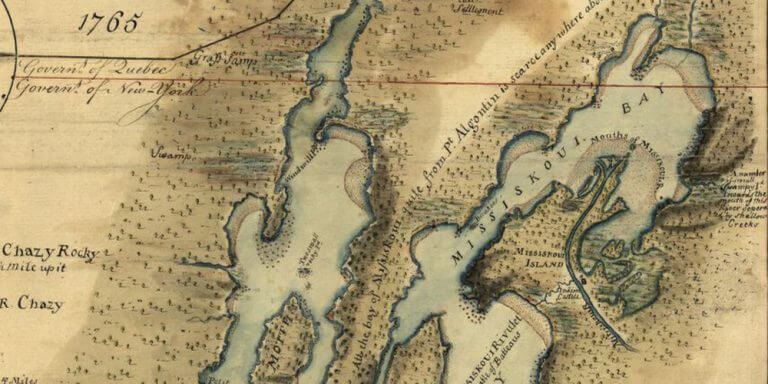
A map of Lake Champlain with the dates of the battles during the 1777 Burgoyne’s campaign.
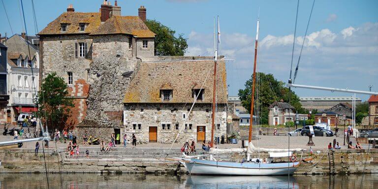
The beginning of a great adventure of touring France with 36 young chorists on the steps of Champlain.
You can download and view high-resolution images (old historical maps) from the Library of Congress website.