Lake Champlain’s Old Maps
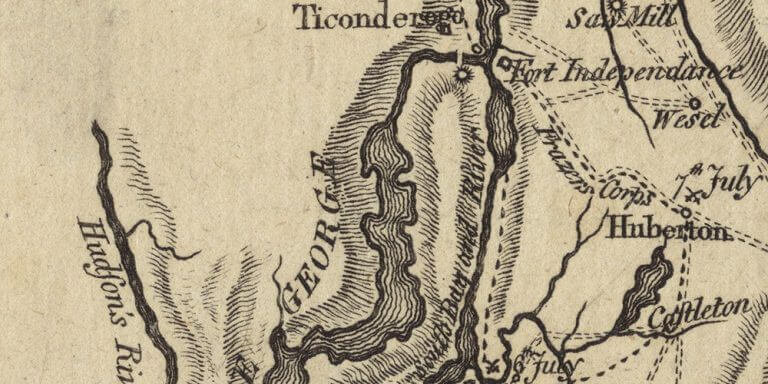
A map of Lake Champlain with the dates of the battles during the 1777 Burgoyne’s campaign.
A map of Lake Champlain with the dates of the battles during the 1777 Burgoyne’s campaign.
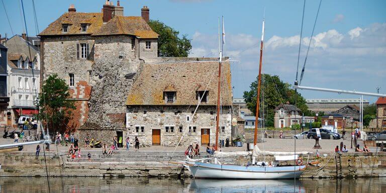
The beginning of a great adventure of touring France with 36 young chorists on the steps of Champlain.
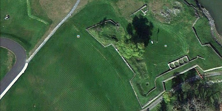
Google satellite images can reveal extraordinary things to archeologists.
A wiki encyclopedia can be a very useful tool to organize references.
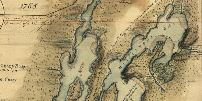
You can download and view high-resolution images (old historical maps) from the Library of Congress website.

One of my favorite internet references.
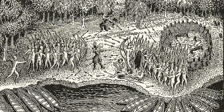
As we celebrate the 400th anniversary of the founding of Quebec city and of the discovery of Lake Champlain by Samuel de Champlain, a lot is being written and discussed on this subject: conferences, movies and documentaries, books…
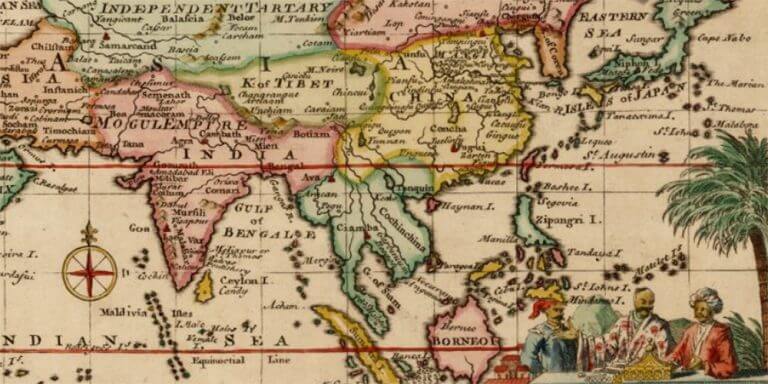
It seems that a number of people are looking for a map of Marco Polo's travels (as shown by my blog traffic data). So here is the best one I found.
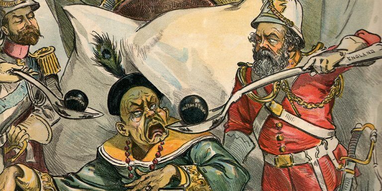
My husband received an issue of Puck, a New York magazine dated 1895 as a gift from my parents. And, surprisingly, the center spread was this illustration. The Chinese emperor, looking rather ill, is being served ultimatums (hard pills to swallow) from Britain, Russia, and Japan.
I decided to ask a local young Chinese about what he learned at school about China in the middle of the 19th century and the relationship with the Western nations.