Photo: Johann Ruysch world map
“There was a navigable western route to Asia, and that he had indeed discovered it” believed Christopher Columbus at the time of his death. The geographical knowledge Columbus had, the calculations he had made about the circumference of the earth and the size of Africa/Europe/Asia, and the stories he had heard from sailors about lands across the Atlantic, all contributed to his belief.
In a fascinating in-depth article (What Columbus Knew, History Today, 1992), Helen Wallis described the work of cartographers of the time, and how it shaped Christopher Columbus’ explorations and discoveries.
Cartographic Data he Had Learned from
First, Columbus looked to ancient cartographers, Claudius Ptolemy and Marinus of Tyre, for the dimension of the oecumene (the landmass of Africa, Europe, and Asia), she explained. Ptolemy, in his Geography, believed that EuroAsia covered 180 degrees in longitude. He had underestimated the earth’s circumference by around 25%.
On the other hand, Marinus had estimated EuroAsia to cover 225 degrees in longitude. Unfortunately (or maybe fortunately!) Columbus increased it even further, arguing that the ancient mapmakers did not know the extent of the eastern lands.
If the ancient mapmakers debated about the oecumene and the earth’s circumference, there still seemed to be a lot of controversies on the topic of the proportion of water and land on the globe in the 15th century! Based on Aristotle’s writings, Roger Bacon (1219-1292) believed that the oecumene had to be large in relation to the terrestrial globe.
On the contrary, Paul de Burgos (1350-1435) argued it could not be greater than half the circumference of the sphere.
We can assume that Columbus was also aware of some world maps made by his contemporaries, such as the 1490 Henricus Martellus map (see the Carta Marina article), which includes China and Japan, or the Paris map (Bibliothèque Nationale de France) of the same period, which shows eastern Asia and the Cape of Good Hope.
With all that controversial data, Christopher Columbus attempted to get the King of Portugal to finance his voyage, and later Ferdinand and Isabelle, King and Queen of Spain. His project showed a Western route to Asia much shorter than it really was. He had indeed underestimated the earth circumference and overestimated the size of the oecumene.
But ultimately the Spain royalty may have been persuaded to sponsor Columbus’ expeditions simply as a reaction to the success of the Portuguese! Bartolemu Dias had just returned from his journey around the Cape of Good Hope all the way to India. Spain needed to find the Western route to Asia. The wealth of Cathay and Cipango (China and Japan) were indeed very attractive to the backers!
The Lands Columbus Discovered
Columbus’s discoveries in the course of his four voyages never distracted him from the belief that he had indeed discovered Asia during the “Entreprise of the Indies“! He repetitively correlated lands he discovered with known places in Asia.
- On his 1492 voyage, the newly-found Lucayan Islands had little resemblance with the Chinese empire and its rich cultural heritage. Columbus talked about their naked inhabitants. But Marco Polo had also described naked inhabitants in the China Seas, in the islands of Nocueran (Nicobar).
- On his second voyage, Columbus had become convinced that Cuba was part of the south-east promontory of Asia.
- On his third voyage, Columbus discovered Trinidad and Venezuela. This time he knew that this was a new continent.
- So on his fourth voyage, Columbus was looking for the strait between Cuba, believed to be part of Asia, and this new continent. He followed the coast of Central America and was informed by the Indians that he was on an isthmus between two seas, but the mountain range was a barrier to its exploration.
First Maps Showing Lands Discovered by Columbus
After the description of the cartographic background that helped Columbus prepare for his voyages, Helen Wallis detailed the first maps which presented the discoveries of the explorer and others to the world.
- The first map, published by Giovanni Matteo Contarini in 1506, records Columbus and John Cabot’s discoveries of 1497-98. “They are marked on the east coast of an elongated cape of Asia. A wide sea separates these lands from the Spanish discoveries. Terra de Cuba, Insula Hespanola, and La Dominga are marked between 20’N and 30’N and described as ‘the’ islands which Master Christopher Columbus discovered at the instance of the Most Serene King of Spain’. To the south lies the continent of the ‘Otro Mundo’, named ‘Terra S. Crucis’. To the west lies the island of ‘Zinpangu’. Near the coast of Catha (China) a legend records Columbus’ discovery. It states that he had reached the province called Ciamba (Champ; next to Cochin China).” Helen Wallis explained. The map confirms that Columbus believed that he has reached South-East Asia.
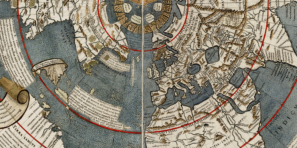
- The second map is from Johann Ruysch. It was published in 1507 and 1508 editions of Ptolemy’s Geography. It is generally similar to Contarini’s map, except for the legend off Ciamba.
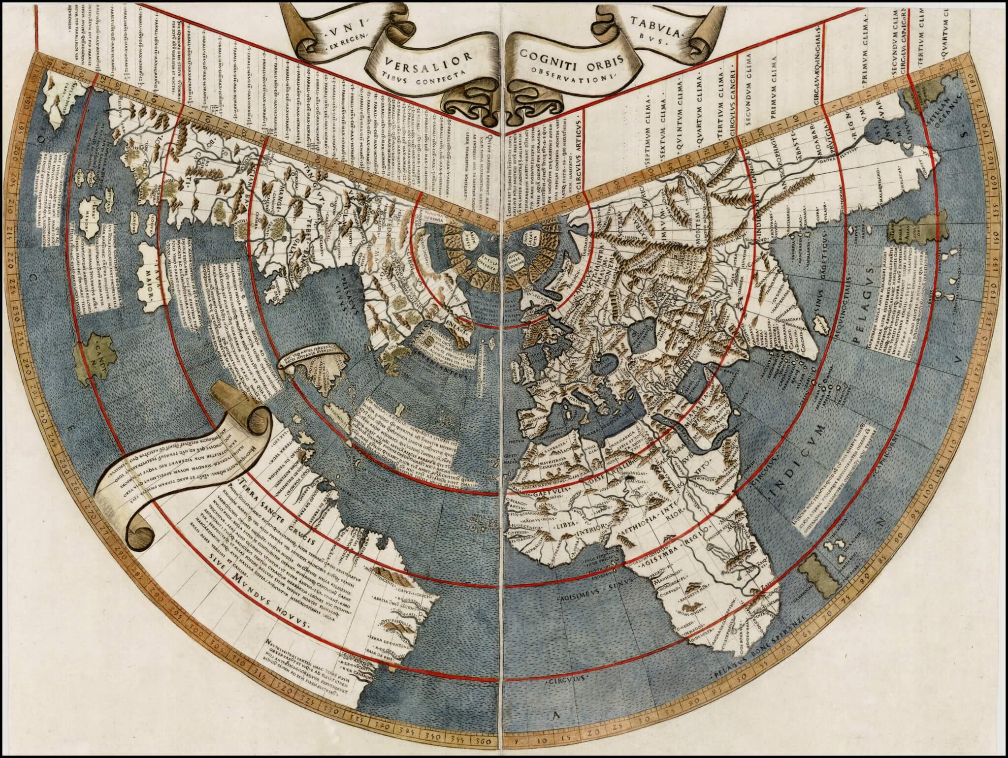
Johann Ruysch’s world map – Universalior Cogniti Orbis Tabula ex Recentibus Confecta Observationibus – Courtesy of Barry Lawrence Ruderman Antique Maps – RareMaps.com - A third map is the one of the Turkish admiral Piri Re’is, 1513. Its author explained that the map was compiled from eight world maps, including a map drawn by Columbus.
- A fourth map is the 1516 Carta Marina we have discussed in another article, which named Columbus as the discoverer of the New World.
Amerigo Vespucci First Reveals the New Continent and Names America
Interestingly, as we all know, Columbus did not get the greatest honor of naming the new continent he had discovered. For Columbus, the discovery he believed he had made of a navigable way to Asia was more significant than the new continent he had reached.
So Amerigo Vespucci stole him the honor of giving its name to America, first revealing and quickly publishing the discovery of the new continent (Mundus Novus, 1504).
As Helen Wallis concluded, “Columbus’ misconceptions inspired a voyage which would never have won backers had the truth been known. He became famous for the discovery which he neither anticipated nor intended, the discovery of America.”
Read much more in Helen Wallis’ full article “What Columbus Knew“.