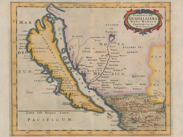
Maps: California Was an Island
The great story of 2 centuries of maps showing California as an island.
The great story of 2 centuries of maps showing California as an island.
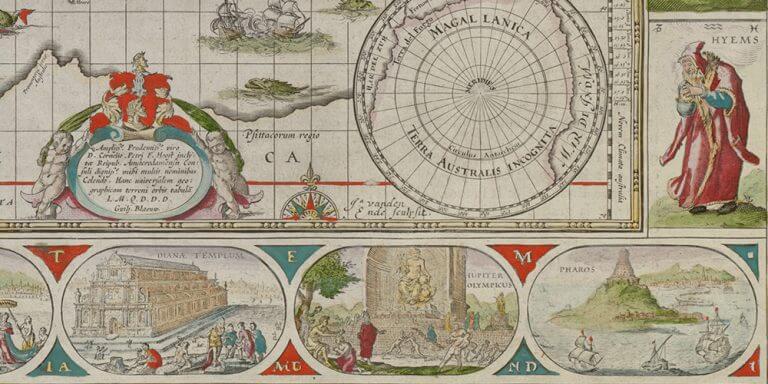
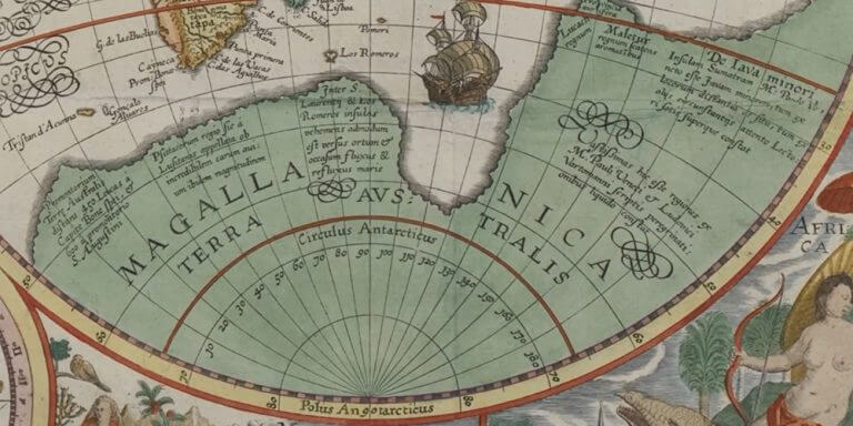
Marginalia in cARTography examines the imagery displayed in the margins of maps, from the 13th to the 20th century.
Could you imagine that we can see corrections on copper plates or wood blocks of early 16th century maps and discover which changes were made from the time they were first printed to later printings?
Imagine more than 100 maps, atlases and globes, in a major cartography exhibition at the National Library of Australia. We are sharing 6 fascinating videos made about the exhibit and its maps.
Columbus' misconceptions inspired a voyage which would never have won backers had the truth been known.
An exhibition reminds us that, at the time of empires, maps were more than just tools for the explorers to find their way.
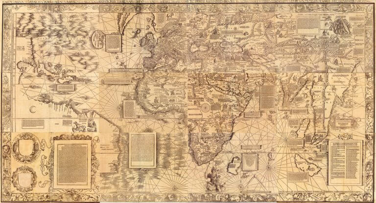
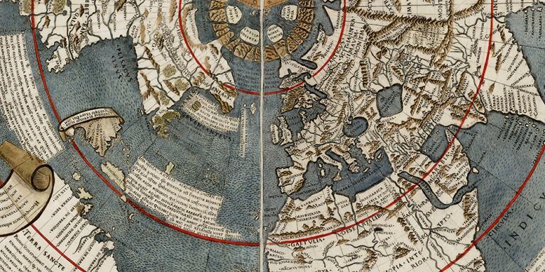
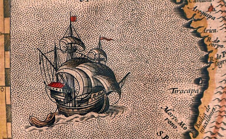
For his 1516 "Carta Marina", cartographer Waldseemüller changes his approach to map making.
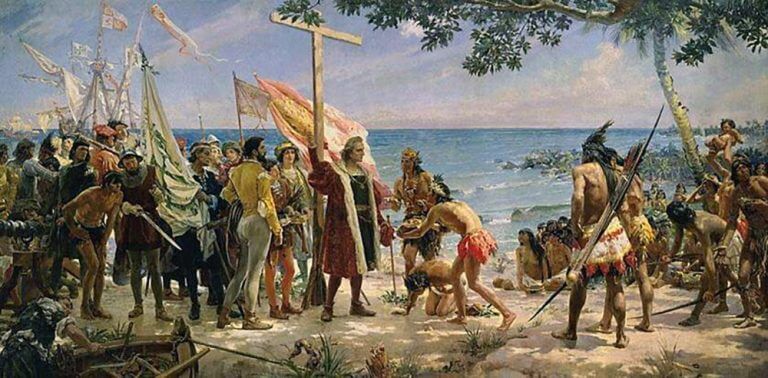
Could Christopher Columbus actually be the son of Polish King Władysław III?
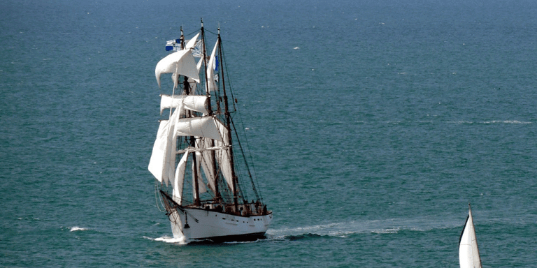
This 90-year boat which used to fish for cod in Newfoundland waters is magnificent and it taught me how large and gorgeous those fishing boats were.